Laverton Creek
Laverton Creek's headwaters lie near Caroline Springs and flow through semi rural, industrial and residential areas in Laverton before flowing into Port Phillip Bay in Altona.
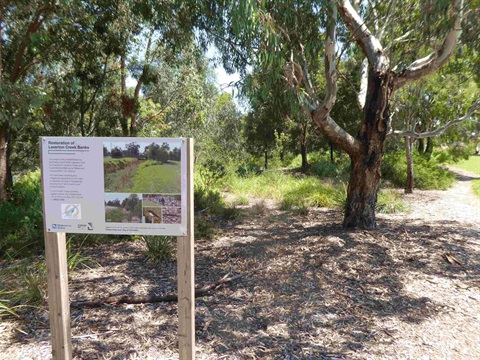
Before European settlement Laverton Creek was a meandering chain of shallow ponds full of fish and water bugs, surrounded by many different plant communities and home to a vast range of waterbirds. Water from the surrounding landscape would enter the creek and flow into Truganina Swamp in Altona where it stopped, only reaching Port Phillip Bay in high rainfall events.
Due to population growth and subsequent addition water runoff, the area of Laverton Creek south of the Queen St bridge was widened to reduce the risk of flooding.
Today the creek is surrounded by many parks making it very accessible to both pedestrians and bike riders of all abilities. The main features in the southern section are McCormack Park, the Laverton Storm Water Harvesting project, Truganina Swamp, Truganina Park and the creek mouth itself.
Location
Multiple entry points including: Merton st North, Altona Meadows, Bladin Street, Laverton, and Apex Park, Altona, Altona North 3015 View Map
-37.870181, 144.796740
Multiple entry points including: Merton st North, Altona Meadows, Bladin Street, Laverton, and Apex Park, Altona ,
Altona North 3015
Multiple entry points including: Merton st North, Altona Meadows, Bladin Street, Laverton, and Apex Park, Altona ,
Altona North 3015
Laverton Creek